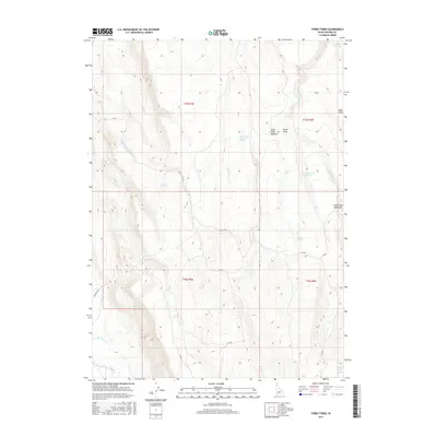
2017 Map of Three Forks
USGS Topo · Published 2017About this map
Three Forks serves as the central focal point of this remote Owyhee County landscape, where the confluence of several drainages creates a distinctive network of water sources. The terrain is defined by its seasonal hydrology, featuring numerous named springs such as Three Forks Summit Springs, Watchabob Springs, and Damon Springs that sustain isolated pockets of vegetation like Three Forks Meadow and Indian Hay Meadows. Navigation through this high desert environment is marked by established routes, including the Ryegrass Trl and Damon Trl, along with several BIA roads that cross the township boundaries of T15S and T16S. The map details a landscape of extreme contrast, from the open Mud Flats in the northeast to the steep drainages of Miller Cr and Bell Cr, illustrating the vital importance of water locations like Harris Lake and Chicken Spring to local movement and land use.
Find a feature on this map
29 named features on this map. Tap any name to fly to it.
Don’t see what you’re looking for? This feature index may not catch every label — zoom into the map to look around manually.
Map Details
Editions of this 2017 Three Forks Map
This is the sole edition of this map. No revisions or reprints were ever made.
Other maps of this area

1936 · Mountain City
USGS Topo · 1:62,500

1939 · Owyhee
USGS Topo · 1:62,500

1940 · Mountain City
USGS Topo · 1:62,500

1942 · Owyhee
USGS Topo · 1:62,500

1955 · McDermitt
USGS Topo · 1:250,000

1955 · Jordan Valley
USGS Topo · 1:250,000

1955 · Twin Falls
USGS Topo · 1:250,000

1955 · Wells
USGS Topo · 1:250,000

1957 · Jordan Valley
USGS Topo · 1:250,000

1958 · Wells
USGS Topo · 1:250,000