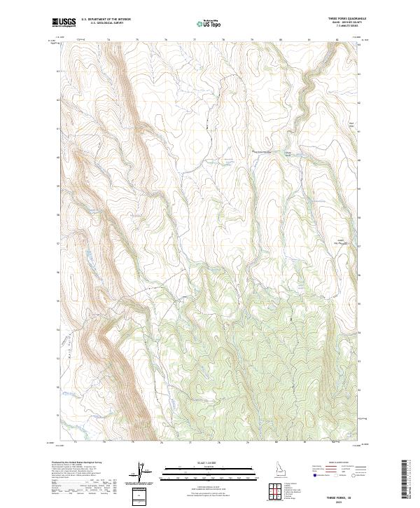
2023 Map of Three Forks
USGS Topo · Published 2023About this map
Three Forks Meadow and the surrounding high plateau of Owyhee County define this landscape, where seasonal water sources dictate the movement of people and livestock. This modern survey illustrates a network of Bureau of Indian Affairs (BIA) routes and primitive trails that crisscross the drainage basins of Marys Creek and Bell Creek. These paths, including the Ryegrass Trl and Damon Trl, link disparate water points such as Three Forks Summit Springs, Watchabob Springs, and Chicken Spring. The proximity of Duck Valley and Indian Hay Meadows suggests a landscape managed for grazing, where the availability of Warm Springs and Damon Springs provides critical relief in an otherwise arid environment. The map details the complex topography of the region, from the Mud Flats in the northeast to the various creek forks that converge within this high-desert territory.
Find a feature on this map
28 named features on this map. Tap any name to fly to it.
Don’t see what you’re looking for? This feature index may not catch every label — zoom into the map to look around manually.
Map Details
Editions of this 2023 Three Forks Map
This is the sole edition of this map. No revisions or reprints were ever made.
Other maps of this area

1936 · Mountain City
USGS Topo · 1:62,500

1939 · Owyhee
USGS Topo · 1:62,500

1940 · Mountain City
USGS Topo · 1:62,500

1942 · Owyhee
USGS Topo · 1:62,500

1955 · McDermitt
USGS Topo · 1:250,000

1955 · Jordan Valley
USGS Topo · 1:250,000

1955 · Twin Falls
USGS Topo · 1:250,000

1955 · Wells
USGS Topo · 1:250,000

1957 · Jordan Valley
USGS Topo · 1:250,000

1958 · Wells
USGS Topo · 1:250,000