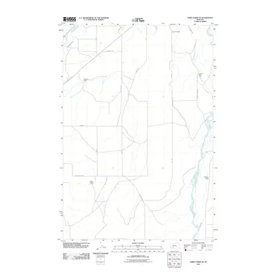
2011 Map of Three Forks SE
USGS Topo · Published 2011About this map
The Madison River and Jefferson River converge near this agricultural landscape, where water management is central to the local economy. A complex network of irrigation channels, including the Lower Jefferson Ditch, Francis Walbert Ditch, and Crowley Ditch, supports the established operations of the Buttleman Ranch and the expansive Climbing Arrow Ranch. The presence of the Fairview Cemetery and the Maltby Mound II Mine suggests a long-standing pattern of settlement and industry tied to the land. Transportation history is evidenced by the Old Yellowstone Trl, a historic route that reflects the area's development as a corridor for travel and commerce. This high-plateau region, navigated by local routes like Table Mountain Rd and Kyd Rd, maintains a distinct character defined by ranching legacies and significant river systems.
Find a feature on this map
22 named features on this map. Tap any name to fly to it.
Don’t see what you’re looking for? This feature index may not catch every label — zoom into the map to look around manually.
Map Details
Editions of this 2011 Three Forks SE Map
This is the sole edition of this map. No revisions or reprints were ever made.
Other maps of this area

1888 · Three Forks
USGS Topo · 1:250,000

1894 · Three Forks
USGS Topo · 1:250,000

1895 · Three Forks
USGS Topo · 1:250,000

1947 · Bozeman
USGS Topo · 1:250,000

1948 · Bozeman
USGS Topo · 1:250,000

1949 · Anceney
USGS Topo · 1:62,500

1949 · Manhattan
USGS Topo · 1:62,500

1949 · Norris
USGS Topo · 1:62,500

1950 · Three Forks
USGS Topo · 1:62,500

1951 · Norris
USGS Topo · 1:62,500