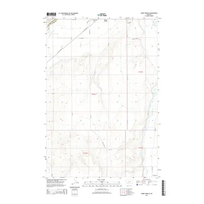
2014 Map of Three Forks SE
USGS Topo · Published 2014About this map
The Madison River and Jefferson River define the northern hydrology of this Gallatin County landscape, where an extensive network of irrigation infrastructure supports the regional agriculture. Channels like the Lower Jefferson Ditch, Francis-Wolbert Ditch, and Darlington Ditch crisscross the valley floor, indicating a sophisticated water management system tied to the area's ranching history. To the south, the terrain rises toward the prominent plateau of Table Mountain, providing a stark contrast to the low-lying river plains.
Find a feature on this map
29 named features on this map. Tap any name to fly to it.
Don’t see what you’re looking for? This feature index may not catch every label — zoom into the map to look around manually.
Map Details
Editions of this 2014 Three Forks SE Map
This is the sole edition of this map. No revisions or reprints were ever made.
Other maps of this area

1888 · Three Forks
USGS Topo · 1:250,000

1894 · Three Forks
USGS Topo · 1:250,000

1895 · Three Forks
USGS Topo · 1:250,000

1947 · Bozeman
USGS Topo · 1:250,000

1948 · Bozeman
USGS Topo · 1:250,000

1949 · Anceney
USGS Topo · 1:62,500

1949 · Manhattan
USGS Topo · 1:62,500

1949 · Norris
USGS Topo · 1:62,500

1950 · Three Forks
USGS Topo · 1:62,500

1951 · Norris
USGS Topo · 1:62,500