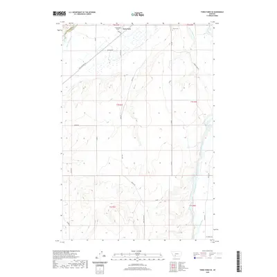
2020 Map of Three Forks SE
USGS Topo · Published 2020About this map
Three Forks sits at the northern edge of this landscape where the Jefferson River and Madison River move toward their historic confluence. The terrain is defined by a sophisticated network of irrigation systems necessary for high-plains agriculture, including the Lower Jefferson Ditch, Francis Walbert Ditch, and Darlington Ditch. These man-made watercourses follow the natural contours of the land, supporting the ranching and farming operations that have long characterized Gallatin County.
Find a feature on this map
31 named features on this map. Tap any name to fly to it.
Don’t see what you’re looking for? This feature index may not catch every label — zoom into the map to look around manually.
Map Details
Editions of this 2020 Three Forks SE Map
This is the sole edition of this map. No revisions or reprints were ever made.
Other maps of this area

1888 · Three Forks
USGS Topo · 1:250,000

1894 · Three Forks
USGS Topo · 1:250,000

1895 · Three Forks
USGS Topo · 1:250,000

1947 · Bozeman
USGS Topo · 1:250,000

1948 · Bozeman
USGS Topo · 1:250,000

1949 · Anceney
USGS Topo · 1:62,500

1949 · Manhattan
USGS Topo · 1:62,500

1949 · Norris
USGS Topo · 1:62,500

1950 · Three Forks
USGS Topo · 1:62,500

1951 · Norris
USGS Topo · 1:62,500