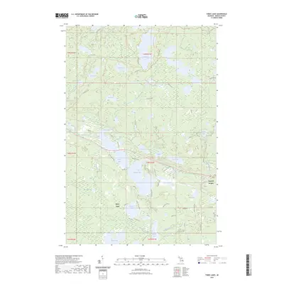
2023 Map of Three Lakes
USGS Topo · Published 2023About this map
Three Lakes and Imperial Heights anchor this Upper Peninsula landscape, where water and wilderness define the settlement pattern. Situated in the heart of Baraga County, the area is dominated by the extensive boundaries of Craig Lake State Park, which encompasses numerous glacial lakes including Craig Lake, Crooked Lake, and Teddy Lake. The terrain is interconnected by a network of recreational and access routes, most notably the North Country National Scenic Trail, which winds through the northern half of the quadrangle.
Find a feature on this map
61 named features on this map. Tap any name to fly to it.
Don’t see what you’re looking for? This feature index may not catch every label — zoom into the map to look around manually.
Map Details
Editions of this 2023 Three Lakes Map
This is the sole edition of this map. No revisions or reprints were ever made.
Other maps of this area
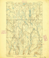
1895 · Ned Lake
USGS Topo · 1:62,500
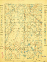
1899 · Witbeck
USGS Topo · 1:62,500
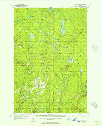
1955 · Ned Lake
USGS Topo · 1:62,500
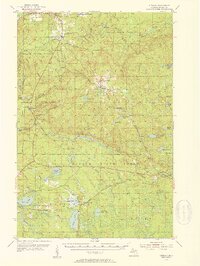
1955 · Herman
USGS Topo · 1:62,500
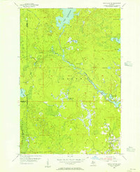
1955 · Witch Lake NE
USGS Topo · 1:24,000
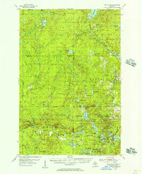
1955 · Witch Lake
USGS Topo · 1:62,500
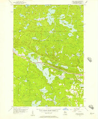
1956 · Three Lakes
USGS Topo · 1:24,000
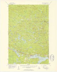
1956 · Michigamme
USGS Topo · 1:62,500
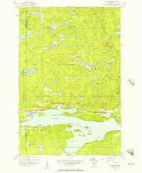
1956 · Michigamme
USGS Topo · 1:24,000

1958 · Iron River
USGS Topo · 1:250,000