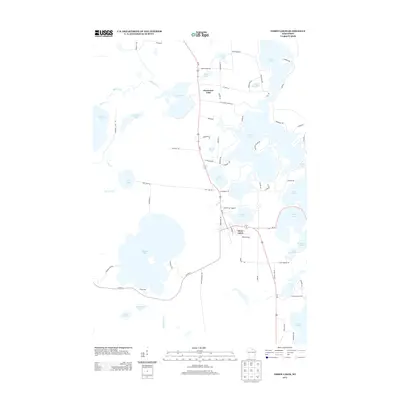
2013 Map of Three Lakes
USGS Topo · Published 2013About this map
Thunder Lake dominates the southwestern portion of this northern Wisconsin landscape, serving as a primary focal point for the recreational and residential character of the area in the early 21st century. The settlement of Three Lakes is situated east of this large water body, connected by a network of local roads such as W School St and Bonack Loop. To the north, the community of Clearwater Lake sits adjacent to its namesake water body, with Us-45 serving as the primary transportation artery through the region. The map reveals a high density of glaciated water features, including Maple Lake, Spirit Lake, and the extensive reaches of Long Lake, which illustrate the region's historical development as a Northwoods destination. Notable infrastructure like Maple Lake Dam Rd and the intersections along Co Hwy-A provide specific points of interest for understanding the local geography and access points to these various shorelines.
Find a feature on this map
76 named features on this map. Tap any name to fly to it.
Don’t see what you’re looking for? This feature index may not catch every label — zoom into the map to look around manually.
Map Details
Editions of this 2013 Three Lakes Map
This is the sole edition of this map. No revisions or reprints were ever made.
Other maps of this area

1928 · Three Lakes
USGS Topo · 1:48,000

1930 · Robbins
USGS Topo · 1:48,000

1938 · Three Lakes
USGS Topo · 1:48,000

1938 · Robbins
USGS Topo · 1:48,000

1940 · Monico
USGS Topo · 1:48,000

1940 · Rhinelander
USGS Topo · 1:48,000

1945 · Three Lakes
USGS Topo · 1:48,000

1945 · Robbins
USGS Topo · 1:48,000

1949 · Rhinelander
USGS Topo · 1:48,000

1950 · Monico
USGS Topo · 1:48,000