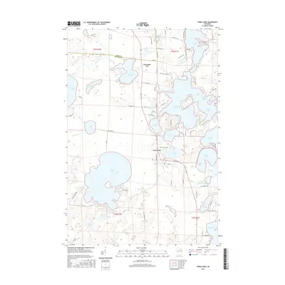
2015 Map of Three Lakes
USGS Topo · Published 2015About this map
Three Lakes serves as the central hub of this water-heavy landscape, where the interconnected chain of lakes dictates the local geography and transportation. The map reveals a dense concentration of glacial lakes, including the expansive Thunder Lake to the west and the irregular shoreline of Planting Ground Lake to the east. The boundary between Vilas Co and Oneida Co cuts through the northern portion of the sheet, just north of the Clearwater Lake settlement. This area is characterized by a complex network of local roads such as Maple Lake Dam Rd and Rice Lake Rd that navigate the narrow strips of land between water bodies like Maple Lake and Townline Lake. The concentration of named lakes—ranging from the large Big Lake to smaller basins like Squash Lake—underscores the region's long-standing identity as a premier Northwoods destination for recreation and residential lakefront development.
Find a feature on this map
83 named features on this map. Tap any name to fly to it.
Don’t see what you’re looking for? This feature index may not catch every label — zoom into the map to look around manually.
Map Details
Editions of this 2015 Three Lakes Map
This is the sole edition of this map. No revisions or reprints were ever made.
Other maps of this area

1928 · Three Lakes
USGS Topo · 1:48,000

1930 · Robbins
USGS Topo · 1:48,000

1938 · Three Lakes
USGS Topo · 1:48,000

1938 · Robbins
USGS Topo · 1:48,000

1940 · Monico
USGS Topo · 1:48,000

1940 · Rhinelander
USGS Topo · 1:48,000

1945 · Three Lakes
USGS Topo · 1:48,000

1945 · Robbins
USGS Topo · 1:48,000

1949 · Rhinelander
USGS Topo · 1:48,000

1950 · Monico
USGS Topo · 1:48,000