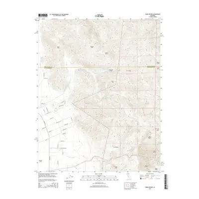
2015 Map of Three Sisters
USGS Topo · Published 2015About this map
The Hollister Valley and the southern reaches of the Diablo Range define this 2015 study of the borderlands between Santa Clara and San Benito Counties. This landscape is characterized by a complex drainage system where Arroyo De Las Viboras and Arroyo Dos Picachos wind through the foothills of the high country. Prominent summits including San Joaquin Peak, Coyote Peak, and the namesake Three Sisters peaks stand over a network of canyon roads such as Comstock Rd and Fairview Rd. The presence of Hawkins Lake and various ridgelines like Dunne Ridge and Chimney Ridge illustrates the transition from the agricultural valley floor to the more isolated upland canyons of the Santa Ana Mtn range.
Find a feature on this map
48 named features on this map. Tap any name to fly to it.
Don’t see what you’re looking for? This feature index may not catch every label — zoom into the map to look around manually.
Map Details
Editions of this 2015 Three Sisters Map
This is the sole edition of this map. No revisions or reprints were ever made.
Other maps of this area

1919 · Hollister
USGS Topo · 1:48,000

1920 · Pacheco Pass
USGS Topo · 1:62,500

1921 · Gilroy Hot Springs
USGS Topo · 1:62,500

1921 · Hollister
USGS Topo · 1:62,500

1922 · Quien Sabe
USGS Topo · 1:62,500

1923 · Hollister
USGS Topo · 1:62,500

1939 · Gilroy Hot Springs
USGS Topo · 1:62,500

1940 · Gilroy Hot Springs
USGS Topo · 1:62,500

1940 · Hollister
USGS Topo · 1:62,500

1940 · Pacheco Pass
USGS Topo · 1:62,500