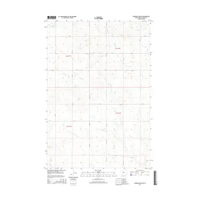
2015 Map of Thunder Hawk SW
USGS Topo · Published 2015About this map
Deer Cr and Cyclone Cr wind through this section of the Great Plains, illustrating the complex drainage patterns of Corson County's rolling prairie. The landscape is defined by a sparse but regular grid of section lines and gravel roads, including 110th St and 111th St, which serve as the primary conduits for the region's agricultural transport. Water sources like W Br Willow Cr and E Thunder Hawk Cr reveal the essential reliance of local ranching operations on these intermittent creek systems. This map shows the area as it appeared in the early 21st century, with its north-south thoroughfares like 208th Ave and 209th Ave maintaining the connectivity of a largely open, rural landscape.
Find a feature on this map
20 named features on this map. Tap any name to fly to it.
Don’t see what you’re looking for? This feature index may not catch every label — zoom into the map to look around manually.
Map Details
Editions of this 2015 Thunder Hawk SW Map
This is the sole edition of this map. No revisions or reprints were ever made.
Other maps of this area

1953 · McIntosh
USGS Topo · 1:250,000

1954 · Lemmon
USGS Topo · 1:250,000

1957 · Lemmon
USGS Topo · 1:250,000

1958 · McIntosh
USGS Topo · 1:250,000

1972 · Black Horse Butte NW
USGS Topo · 1:24,000

1972 · Thunder Hawk SW
USGS Topo · 1:24,000

1972 · Thunder Hawk SE
USGS Topo · 1:24,000
1972 · Keldron
USGS Topo · 1:24,000
1972 · Thunder Hawk
USGS Topo · 1:24,000

1972 · Black Horse Butte NE
USGS Topo · 1:24,000