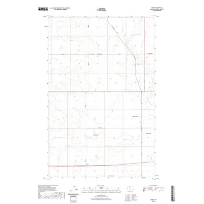
2020 Map of Tiber
USGS Topo · Published 2020About this map
Tiber anchors this section of Liberty County, marking a subtle point of settlement along the open plains. The landscape is defined by the drainage patterns of Badger Coulee and Tiber Coulee, which cut through the high ground towards the eastern edge of the map. These natural features dictated the placement of local thoroughfares like Whitlash Rd and Tiber Rd, which follow the section lines and terrain to connect remote farmsteads and ranching lands.
Find a feature on this map
15 named features on this map. Tap any name to fly to it.
Don’t see what you’re looking for? This feature index may not catch every label — zoom into the map to look around manually.
Map Details
Editions of this 2020 Tiber Map
This is the sole edition of this map. No revisions or reprints were ever made.
Other maps of this area
1919 · Alma
USGS Topo · 1:125,000
1954 · Shelby
USGS Topo · 1:250,000
1958 · Shelby
USGS Topo · 1:250,000
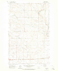
1962 · Tiber
USGS Topo · 1:24,000
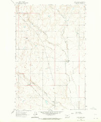
1962 · Lakey Ranch
USGS Topo · 1:24,000
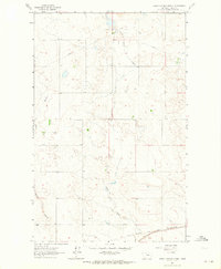
1962 · North Lothair School
USGS Topo · 1:24,000
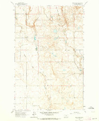
1962 · Blair Ranch
USGS Topo · 1:24,000
1963 · Chester NW
USGS Topo · 1:24,000
1963 · Chester
USGS Topo · 1:24,000
1970 · Sagebrush Coulee
USGS Topo · 1:24,000