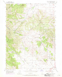
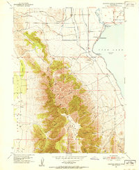
1954 Map of Tickville Spring
USGS Topo · Published 1970About this map
The Camp Williams State Military Reservation dominates this mid-century landscape, spanning the rugged transition between the Oquirrh Mountains and the Traverse Mountains. This area, marking the boundary of Salt Lake and Utah Counties, is defined by its complex network of canyons and high ridges such as Black Ridge and Step Ridge. The terrain drops sharply into the northern reaches of the Cedar Valley, where the ephemeral drainage of West Canyon Wash begins. Water sources are critical in this upland environment, evidenced by named features like Tickville Spring, Rose Canyon Spring, and the Shaggy Peak Reservoir. While primarily a military training site, the map also notes scattered signs of early development and resource management, including a remote landing strip and a solitary prospect in the northwestern hills near Butterfield Peaks.
Find a feature on this map
36 named features on this map. Tap any name to fly to it.
Don’t see what you’re looking for? This feature index may not catch every label — zoom into the map to look around manually.
Map Details
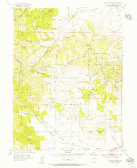
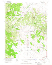
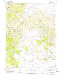
Editions of this 1954 Tickville Spring Map
4 editions found
Other maps of this area

1885 · Salt Lake
USGS Topo · 1:250,000

1885 · Tooele Valley
USGS Topo · 1:250,000

1915 · Fairfield
USGS Topo · 1:62,500

1917 · Fairfield
USGS Topo · 1:62,500

1925 · Ft. Douglas
USGS Topo · 1:125,000

1928 · Ft. Douglas
USGS Topo · 1:125,000

1951 · Jordan Narrows
USGS Topo · 1:24,000
1951 · Saratoga Springs
USGS Topo · 1:24,000

1951 · Midvale
USGS Topo · 1:24,000

1952 · Bingham Canyon
USGS Topo · 1:24,000