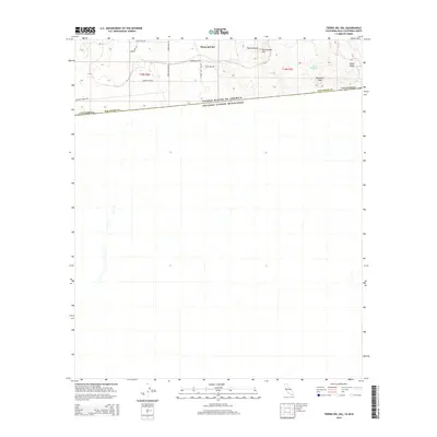
2015 Map of Tierra del Sol
USGS Topo · Published 2015About this map
Tierra del Sol sits at the high-desert transition along the international boundary in eastern San Diego County, marking a rugged frontier where the United States and Mexico meet. This 2015 survey documents a sparse but deliberate network of rural routes such as Tierra Real Rd and Tierra de Luna Rd that serve the homesteads scattered across the high plateau. The topography is dominated by dramatic elevations including Tecate Divide and Rattlesnake Mtn, which overlook the seasonal hydrology of Boundary Cr and the waters of Lake Domingo. This geography highlights the challenges of settlement and border management in a landscape defined by significant peaks like Boundary Peak and the basin of Jewell Valley.
Find a feature on this map
21 named features on this map. Tap any name to fly to it.
Don’t see what you’re looking for? This feature index may not catch every label — zoom into the map to look around manually.
Map Details
Editions of this 2015 Tierra del Sol Map
This is the sole edition of this map. No revisions or reprints were ever made.
Other maps of this area

1931 · Carrizo
USGS Topo · 1:125,000

1939 · Campo
USGS Topo · 1:62,500

1939 · Jacumba
USGS Topo · 1:62,500

1942 · Campo
USGS Topo · 1:62,500

1942 · Jacumba
USGS Topo · 1:62,500

1950 · San Diego
USGS Topo · 1:250,000

1954 · San Diego
USGS Topo · 1:250,000

1955 · San Diego
USGS Topo · 1:250,000

1958 · San Diego
USGS Topo · 1:250,000
1959 · Campo
USGS Topo · 1:24,000