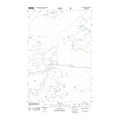
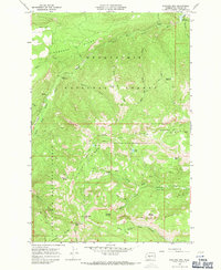
2011 Map of Tieton Basin
USGS Topo · Published 2011About this map
Tieton Basin provides a natural corridor for recreation and transit within Yakima County, defined by the winding course of the Tieton River and its various tributaries. This 2011 survey captures the area's role as a destination for outdoor enthusiasts, featuring a high concentration of established sites such as River Bend Campground, Wild Rose Campground, and Willows Campground. The presence of the Tieton State Airport near Milk Creek underscores the region's accessibility for specialized travel.
Find a feature on this map
32 named features on this map. Tap any name to fly to it.
Don’t see what you’re looking for? This feature index may not catch every label — zoom into the map to look around manually.
Map Details
Editions of this 2011 Tieton Basin Map
This is the sole edition of this map. No revisions or reprints were ever made.
Other maps of this area
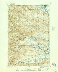
1899 · Ellensburg
USGS Topo · 1:125,000
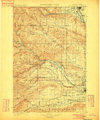
1901 · Ellensburg
USGS Topo · 1:125,000
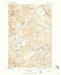
1902 · Mount Aix
USGS Topo · 1:125,000
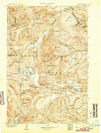
1904 · Mt Aix
USGS Topo · 1:125,000

1950 · Yakima
USGS Topo · 1:250,000

1958 · Yakima
USGS Topo · 1:250,000
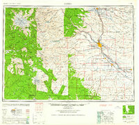
1961 · Yakima
USGS Topo · 1:250,000
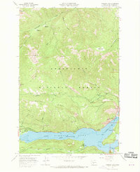
1967 · Rimrock Lake
USGS Topo · 1:24,000
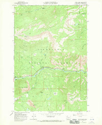
1967 · Tieton Basin
USGS Topo · 1:24,000
1967 · Darland Mtn
USGS Topo · 1:24,000