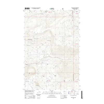
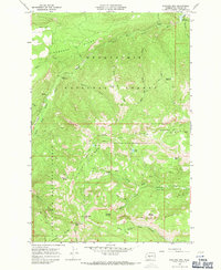
2014 Map of Tieton Basin
USGS Topo · Published 2014About this map
The Tieton River flows through the heart of this landscape in Yakima County, where the transition from high ridgelines to the water's edge defines the local geography. Significant topographical landmarks like Kloochman Rock, Goose Egg Mtn, and the Chimney Peaks overlook a network of meadows and seasonal water sources. The map highlights the localized settlement of Rimrock and the nearby Tieton Basin, indicating a region shaped by both its natural hydrology and modern infrastructure.
Find a feature on this map
48 named features on this map. Tap any name to fly to it.
Don’t see what you’re looking for? This feature index may not catch every label — zoom into the map to look around manually.
Map Details
Editions of this 2014 Tieton Basin Map
This is the sole edition of this map. No revisions or reprints were ever made.
Other maps of this area
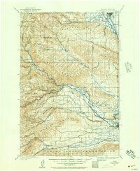
1899 · Ellensburg
USGS Topo · 1:125,000
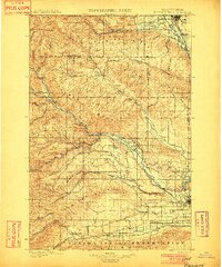
1901 · Ellensburg
USGS Topo · 1:125,000
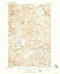
1902 · Mount Aix
USGS Topo · 1:125,000
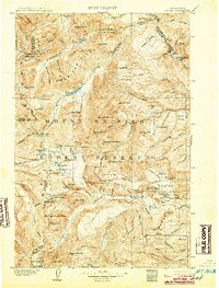
1904 · Mt Aix
USGS Topo · 1:125,000

1950 · Yakima
USGS Topo · 1:250,000

1958 · Yakima
USGS Topo · 1:250,000
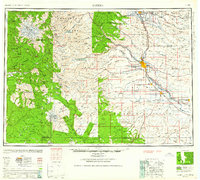
1961 · Yakima
USGS Topo · 1:250,000
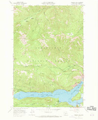
1967 · Rimrock Lake
USGS Topo · 1:24,000
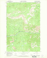
1967 · Tieton Basin
USGS Topo · 1:24,000
1967 · Darland Mtn
USGS Topo · 1:24,000