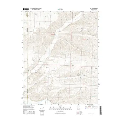
2015 Map of Tiff City
USGS Topo · Published 2015About this map
Tiff City sits at the intersection of local history and the Missouri-Oklahoma state line, anchoring a landscape where the Elk River and winding watercourses like Buffalo Creek define the geography of McDonald County. This modern survey reveals a region deeply connected to its past through numerous burial grounds, including the centrally located Mannings Chapel Cemetery and the more remote Rinehart Cemetery to the north. These sites, along with others like Keenen Cemetery and Mitchell Cemetery, serve as vital landmarks for genealogists tracking family roots in the Ozark borderlands.
Find a feature on this map
88 named features on this map. Tap any name to fly to it.
Don’t see what you’re looking for? This feature index may not catch every label — zoom into the map to look around manually.
Map Details
Editions of this 2015 Tiff City Map
This is the sole edition of this map. No revisions or reprints were ever made.
Other maps of this area
1907 · Wyandotte
USGS Topo · 1:125,000
1909 · Wyandotte
USGS Topo · 1:125,000
1916 · Neosho
USGS Topo · 1:62,500
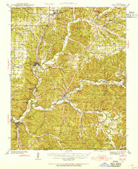
1940 · Noel
USGS Topo · 1:62,500
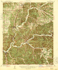
1943 · Noel
USGS Topo · 1:62,500
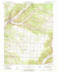
1949 · Seneca
USGS Topo · 1:24,000
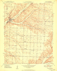
1950 · Seneca
USGS Topo · 1:24,000

1954 · Tulsa
USGS Topo · 1:250,000
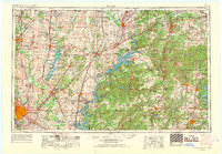
1958 · Tulsa
USGS Topo · 1:250,000
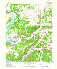
1961 · Wyandotte
USGS Topo · 1:24,000