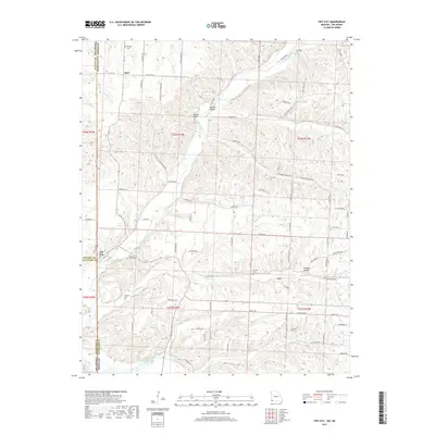
2017 Map of Tiff City
USGS Topo · Published 2017About this map
Tiff City sits at the tri-point of the Missouri, Oklahoma, and Arkansas border regions, serving as a focal point for this rural landscape at the edge of McDonald County. The terrain is deeply dissected by drainage systems like Buffalo Creek and Patterson Cr, which have carved out distinctive features such as Beeman Hollow and Kinslow Hollow. This survey captures the intricate network of county roads and state highways that connect the small settlements of Hart and Coy to the surrounding farmland. Genealogists will find significant value in the distribution of family and community burial sites across the ridges, including Rinehart Cem, Price Cem, and Keeton Cem. The southern edge of the quadrangle is defined by the winding course of the Elk River, a primary hydrological feature that has historically influenced the development and transit patterns of this borderland area.
Find a feature on this map
93 named features on this map. Tap any name to fly to it.
Don’t see what you’re looking for? This feature index may not catch every label — zoom into the map to look around manually.
Map Details
Editions of this 2017 Tiff City Map
This is the sole edition of this map. No revisions or reprints were ever made.
Other maps of this area
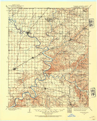
1907 · Wyandotte
USGS Topo · 1:125,000
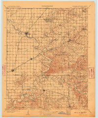
1909 · Wyandotte
USGS Topo · 1:125,000
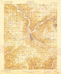
1916 · Neosho
USGS Topo · 1:62,500
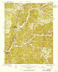
1940 · Noel
USGS Topo · 1:62,500
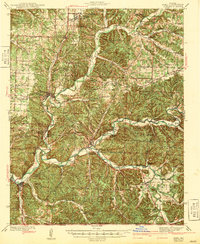
1943 · Noel
USGS Topo · 1:62,500
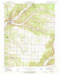
1949 · Seneca
USGS Topo · 1:24,000
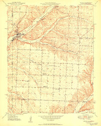
1950 · Seneca
USGS Topo · 1:24,000

1954 · Tulsa
USGS Topo · 1:250,000
1958 · Tulsa
USGS Topo · 1:250,000
1961 · Wyandotte
USGS Topo · 1:24,000