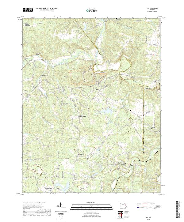
2021 Map of Tiff
USGS Topo · Published 2021About this map
Mineral Fork and its winding tributaries dominate this portion of the Saint Francois Mountains during the early 2020s. The landscape is a complex network of hollows and ridges, including Possum Trot Hollow, Yellow Rock Hollow, and Redman Ridge. Local industry and rural settlement patterns are visible through place names like Cruise Mill and Cannon Mines, while small communities such as Shibboleth, Fertile, and Tiff are connected by a web of county roads. Genealogical interest is well-served by numerous burial sites, including Saint Joseph Cem, Barlow Cem, and the Masonic Cem. The terrain's distinctive features, such as Pashea Bluff and Chimney Bluff, rise above the watercourses of Shibboleth Br and Old Mines Cr, illustrating the rugged topography of this Missouri region.
Find a feature on this map
140 named features on this map. Tap any name to fly to it.
Don’t see what you’re looking for? This feature index may not catch every label — zoom into the map to look around manually.
Map Details
Editions of this 2021 Tiff Map
This is the sole edition of this map. No revisions or reprints were ever made.
Other maps of this area

1901 · De Soto
USGS Topo · 1:125,000

1905 · Bonneterre
USGS Topo · 1:62,500

1906 · Potosi
USGS Topo · 1:62,500

1930 · De Soto NE
USGS Topo · 1:24,000

1931 · De Soto SE
USGS Topo · 1:24,000

1937 · Fletcher
USGS Topo · 1:24,000

1937 · Tiff
USGS Topo · 1:24,000

1938 · Fletcher
USGS Topo · 1:24,000

1939 · Tiff
USGS Topo · 1:24,000

1946 · Richwoods
USGS Topo · 1:62,500