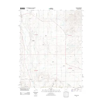
2013 Map of Tiffany
USGS Topo · Published 2013About this map
The Los Pinos River defines the western corridor of this landscape in southern La Plata County, where the high desert terrain meets an intricate system of agricultural irrigation. Small settlements like Tiffany and La Boca serve as focal points for local history, with the Tiffany Cem and La Boca Cem providing vital records for genealogical research. The land is marked by significant topographical landmarks, including Indian Mesa, Shellhammer Ridge, and the prominent Tiffany Peak.
Find a feature on this map
58 named features on this map. Tap any name to fly to it.
Don’t see what you’re looking for? This feature index may not catch every label — zoom into the map to look around manually.
Map Details
Editions of this 2013 Tiffany Map
This is the sole edition of this map. No revisions or reprints were ever made.
Other maps of this area

1889 · Largo
USGS Topo · 1:250,000

1895 · Largo
USGS Topo · 1:250,000

1908 · Ignacio
USGS Topo · 1:125,000

1924 · Ignacio
USGS Topo · 1:125,000

1924 · Pagosa Springs
USGS Topo · 1:125,000

1927 · Pagosa Springs
USGS Topo · 1:125,000

1945 · Durango
USGS Topo · 1:250,000

1953 · Durango
USGS Topo · 1:250,000

1954 · Durango
USGS Topo · 1:250,000

1954 · Allison
USGS Topo · 1:24,000