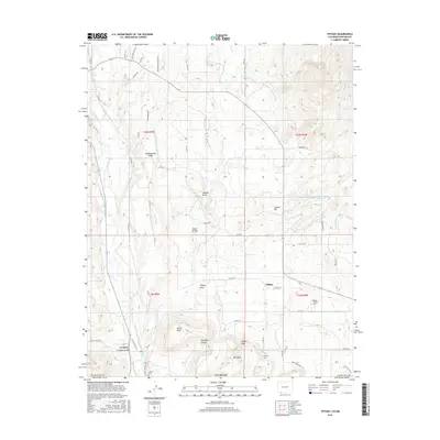
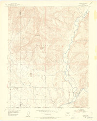
2016 Map of Tiffany
USGS Topo · Published 2016About this map
Tiffany and the settlement of La Boca anchor this landscape along the Colorado-New Mexico border, where the Los Pinos River carves through the southern terrain. This area is defined by a sophisticated network of water management, including the Pine River Canal, Commissioner Ditch, and the Spring Cr Extension Ditch, reflecting the critical importance of irrigation for high-desert agriculture. The topography rises toward Tiffany Peak and levels out across Mid Mesa and Shellhammer Ridge, while the deep cut of La Boca Canyon marks the southern edge of the survey. Genealogists will find significant local value in the presence of several burial grounds, including Allison Tiffany Cem, Tiffany Cem, and La Boca Cem. The map further reveals the infrastructure of the period through features like Tunnel Hill and the Pine River Watershed PR-1 Reservoir, alongside numerous named draws and arroyos that funnel seasonal water toward the river system.
Find a feature on this map
61 named features on this map. Tap any name to fly to it.
Don’t see what you’re looking for? This feature index may not catch every label — zoom into the map to look around manually.
Map Details
Editions of this 2016 Tiffany Map
This is the sole edition of this map. No revisions or reprints were ever made.
Other maps of this area
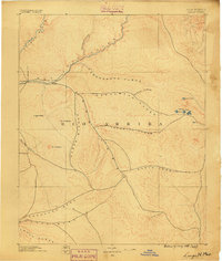
1889 · Largo
USGS Topo · 1:250,000
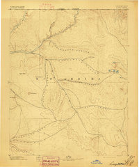
1895 · Largo
USGS Topo · 1:250,000
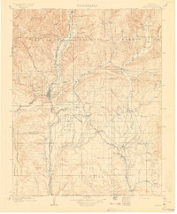
1908 · Ignacio
USGS Topo · 1:125,000
1924 · Ignacio
USGS Topo · 1:125,000
1924 · Pagosa Springs
USGS Topo · 1:125,000
1927 · Pagosa Springs
USGS Topo · 1:125,000

1945 · Durango
USGS Topo · 1:250,000

1953 · Durango
USGS Topo · 1:250,000
1954 · Durango
USGS Topo · 1:250,000
1954 · Allison
USGS Topo · 1:24,000