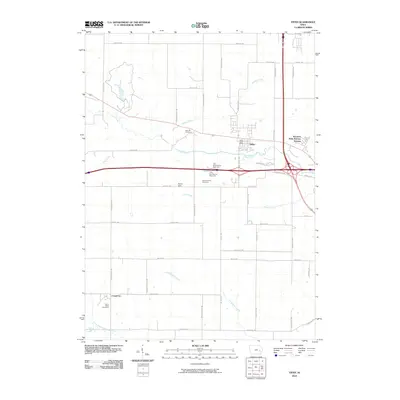
2010 Map of Tiffin
USGS Topo · Published 2010About this map
Tiffin sits at the heart of this landscape, a community defined by its proximity to Interstate 80 and the waters of Clear Creek. The area demonstrates the transition from traditional Iowa farmland to residential expansion, visible in the Western Hills Mobine Estates and the strategic location of the Tiffin Post Office. To the southwest, the small settlement of Cosgrove remains anchored by the Saint Peter Cemetery, serving as a local landmark for family historians.
Find a feature on this map
46 named features on this map. Tap any name to fly to it.
Don’t see what you’re looking for? This feature index may not catch every label — zoom into the map to look around manually.
Map Details
Editions of this 2010 Tiffin Map
This is the sole edition of this map. No revisions or reprints were ever made.
Other maps of this area
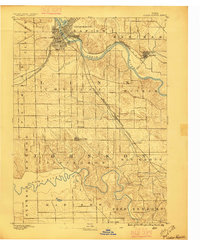
1887 · Cedar Rapids
USGS Topo · 1:62,500
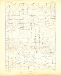
1888 · Amana
USGS Topo · 1:62,500
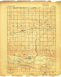
1889 · Amana
USGS Topo · 1:62,500
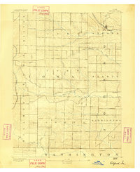
1891 · Oxford
USGS Topo · 1:62,500
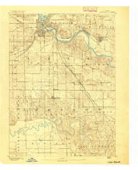
1891 · Cedar Rapids
USGS Topo · 1:62,500
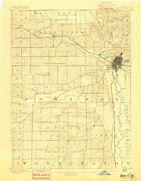
1891 · Iowa City
USGS Topo · 1:62,500
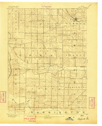
1894 · Oxford
USGS Topo · 1:62,500
1899 · Amana
USGS Topo · 1:62,500
1903 · Fairfax
USGS Topo · 1:125,000
1938 · Iowa City
USGS Topo · 1:62,500