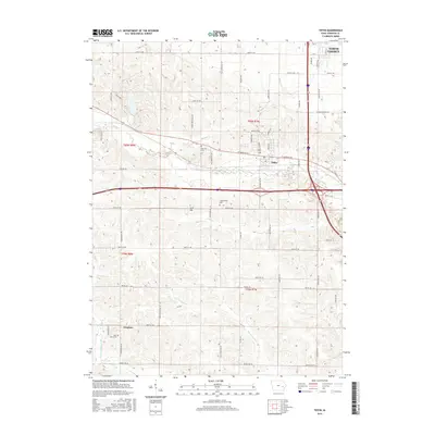
2015 Map of Tiffin
USGS Topo · Published 2015About this map
Tiffin sits at a crossroads of growth in Johnson County, where the Interstate 80 and Interstate 380 corridors intersect west of North Liberty. The landscape is defined by the winding paths of Clear Creek and Buffalo Creek in the north, while the southern portion of the map transitions into the drainage basins of Old Womans Creek and Deer Creek. This 2015 survey illustrates the modern expansion of residential developments and road networks like Oakdale Blvd against a backdrop of older rural landmarks.
Find a feature on this map
62 named features on this map. Tap any name to fly to it.
Don’t see what you’re looking for? This feature index may not catch every label — zoom into the map to look around manually.
Map Details
Editions of this 2015 Tiffin Map
This is the sole edition of this map. No revisions or reprints were ever made.
Other maps of this area

1887 · Cedar Rapids
USGS Topo · 1:62,500

1888 · Amana
USGS Topo · 1:62,500

1889 · Amana
USGS Topo · 1:62,500

1891 · Oxford
USGS Topo · 1:62,500

1891 · Cedar Rapids
USGS Topo · 1:62,500

1891 · Iowa City
USGS Topo · 1:62,500

1894 · Oxford
USGS Topo · 1:62,500

1899 · Amana
USGS Topo · 1:62,500

1903 · Fairfax
USGS Topo · 1:125,000

1938 · Iowa City
USGS Topo · 1:62,500