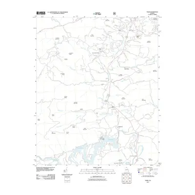
2011 Map of Tiger
USGS Topo · Published 2011About this map
Tiger and its neighboring mountain settlements represent the high-elevation landscape of northeast Georgia. The southern portion of this area is dominated by the waters of the Tallulah River, where Lake Rabun and Tallulah Falls Lake create a distinct shoreline at the foot of Rocky Mountain. These reservoirs, managed at the Athens YMCA Camp Dam, define the local topography alongside numerous named peaks like Screamer Mountain and Tiger Mountain.
Find a feature on this map
88 named features on this map. Tap any name to fly to it.
Don’t see what you’re looking for? This feature index may not catch every label — zoom into the map to look around manually.
Map Details
Editions of this 2011 Tiger Map
This is the sole edition of this map. No revisions or reprints were ever made.
Other maps of this area

1886 · Dahlonega
USGS Topo · 1:125,000

1886 · Walhalla
USGS Topo · 1:125,000

1892 · Dahlonega
USGS Topo · 1:125,000

1892 · Walhalla
USGS Topo · 1:125,000

1896 · Walhalla
USGS Topo · 1:125,000

1896 · Dahlonega
USGS Topo · 1:125,000

1903 · Dahlonega
USGS Topo · 1:125,000

1935 · Dillard
USGS Topo · 1:24,000

1935 · Rabun Bald
USGS Topo · 1:24,000

1935 · Hightower Bald
USGS Topo · 1:24,000