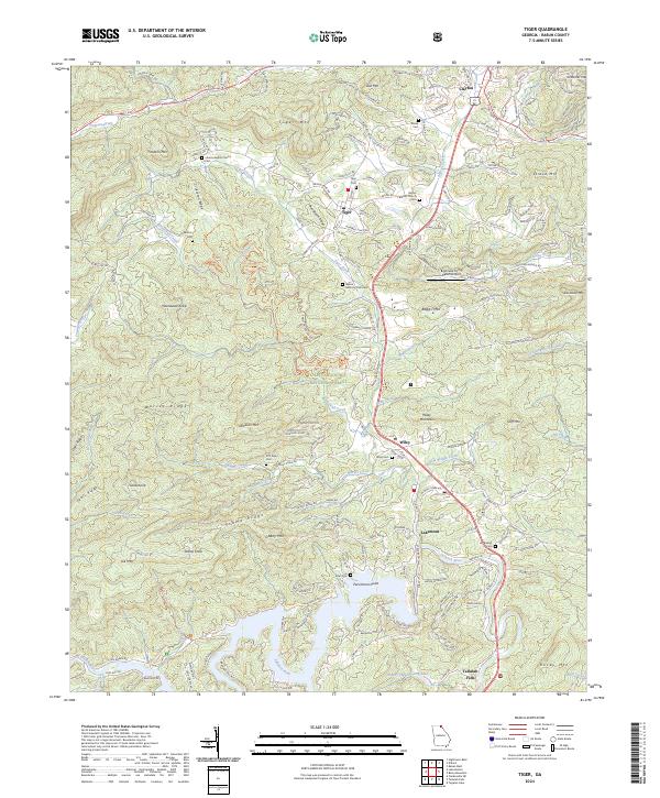
2024 Map of Tiger
USGS Topo · Published 2024About this map
The Chattahoochee National Forest dominates this Rabun County landscape, where the Blue Ridge peaks of Tiger Mtn, Boggs Mtn, and Stonewall Knob create a dramatic topography for the communities of Tiger, Wiley, and Lakemont. Settlement follows the corridor of Us 23 441 and the older Old 441 S, connecting various generational landmarks such as Roane Cem and Liberty Baptist Church. To the south, the terrain descends toward the Tallulah River and the northern reaches of Lake Rabun, an area defined by recreation at the Athens YMCA Camp Lake. Genealogical interest is found in the numerous scattered burial grounds, including the Crukleton Cem on Crukleton Ridge and the D D Taylor Cem near Worley Creek. Modern land use is visible at the Big Creek Flying Ranch Airport and along the White Twister Mountain Bike Tr Trl.
Find a feature on this map
65 named features on this map. Tap any name to fly to it.
Don’t see what you’re looking for? This feature index may not catch every label — zoom into the map to look around manually.
Map Details
Editions of this 2024 Tiger Map
This is the sole edition of this map. No revisions or reprints were ever made.
Other maps of this area

1886 · Dahlonega
USGS Topo · 1:125,000

1886 · Walhalla
USGS Topo · 1:125,000

1892 · Dahlonega
USGS Topo · 1:125,000

1892 · Walhalla
USGS Topo · 1:125,000

1896 · Walhalla
USGS Topo · 1:125,000

1896 · Dahlonega
USGS Topo · 1:125,000

1903 · Dahlonega
USGS Topo · 1:125,000

1935 · Dillard
USGS Topo · 1:24,000

1935 · Rabun Bald
USGS Topo · 1:24,000

1935 · Hightower Bald
USGS Topo · 1:24,000