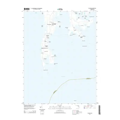
2014 Map of Tilghman
USGS Topo · Published 2014About this map
Tilghman Island is the center of this 2014 survey, where the water-dependent culture of the Chesapeake Bay meets the modern developments of Deep Harbour Farm Estates. The map shows a landscape defined by jagged shorelines and small coastal settlements, including Tilghman and Avalon, which are physically separated by Knapps Narrows. Local history and genealogy interest is concentrated at the Tilghman Island Cem and Saint Johns Cem near Fairbank.
Find a feature on this map
61 named features on this map. Tap any name to fly to it.
Don’t see what you’re looking for? This feature index may not catch every label — zoom into the map to look around manually.
Map Details
Editions of this 2014 Tilghman Map
This is the sole edition of this map. No revisions or reprints were ever made.
Other maps of this area

1892 · Annapolis
USGS Topo · 1:62,500

1893 · Sharps Island
USGS Topo · 1:62,500

1898 · Choptank
USGS Topo · 1:125,000

1904 · St. Michaels
USGS Topo · 1:62,500

1904 · Annapolis
USGS Topo · 1:62,500

1904 · Sharps Island
USGS Topo · 1:62,500

1904 · Oxford
USGS Topo · 1:62,500

1908 · Choptank
USGS Topo · 1:125,000

1942 · Tilghman
USGS Topo · 1:31,680

1942 · Oxford
USGS Topo · 1:31,680