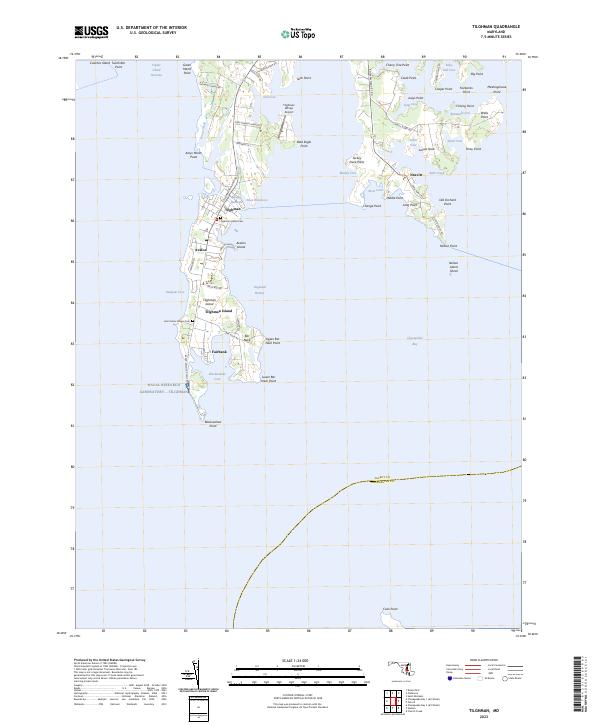
2023 Map of Tilghman
USGS Topo · Published 2023About this map
Tilghman Island defines this maritime landscape, separated from the Maryland mainland by Knapps Narrows and bounded by the vast Chesapeake Bay. The settlement patterns here are deeply tied to the water, with the communities of Tilghman, Avalon, and Fairbank clustered along the western shore. Local history is anchored at sites like Saint Johns Chapel Cem and the Tilghman Island Cem, while the aviation history of the island is marked by the Tilghman Whipp Airport at the north end near Dun Cove.
Find a feature on this map
73 named features on this map. Tap any name to fly to it.
Don’t see what you’re looking for? This feature index may not catch every label — zoom into the map to look around manually.
Map Details
Editions of this 2023 Tilghman Map
This is the sole edition of this map. No revisions or reprints were ever made.
Historical Maps of Neavitt Through Time
10 maps found
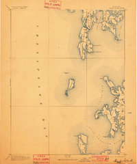
1893 Sharps Island
Talbot County, MD
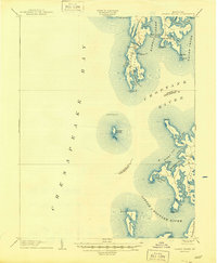
1904 Sharps Island
Talbot County, MD
1942 Claiborne
Talbot County, MD
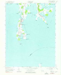
1942 Tilghman
Talbot County, MD
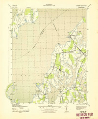
1943 Claiborne
Talbot County, MD
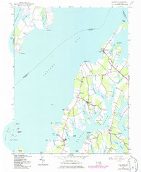
1988 Tilghman
Talbot County, MD
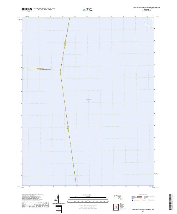
2023 Chesapeake Bay 1 (All Water)
Talbot County, MD
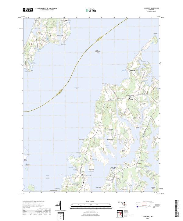
2023 Claiborne
Talbot County, MD
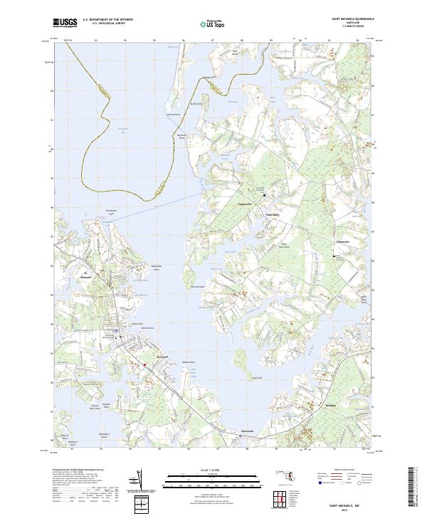
2023 Saint Michaels
Talbot County, MD
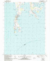
2023 Tilghman
Talbot County, MD