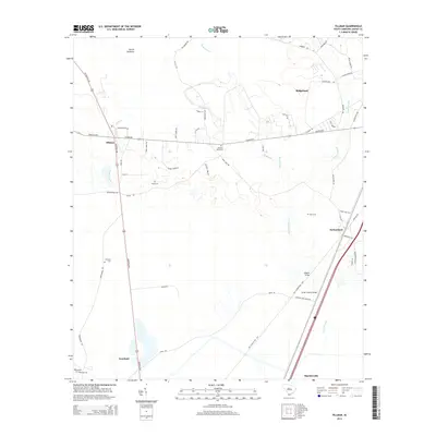
2014 Map of Tillman
USGS Topo · Published 2014About this map
Great Swamp and its associated waterways dominate the Lowcountry landscape of Jasper County in this 2014 survey. Small settlements like Tillman, Switzerland, and Deerfield are situated along the primary north-south corridors, connected by rural routes such as Tillman Rd and Deerfield Rd. The map illustrates a region where the natural environment and human habitation are closely intertwined, evidenced by the numerous cemeteries including Floyd Cem, Rhoden Ward Cem, and Arm Oak Cem that dot the landscape.
Find a feature on this map
56 named features on this map. Tap any name to fly to it.
Don’t see what you’re looking for? This feature index may not catch every label — zoom into the map to look around manually.
Map Details
Editions of this 2014 Tillman Map
This is the sole edition of this map. No revisions or reprints were ever made.
Other maps of this area
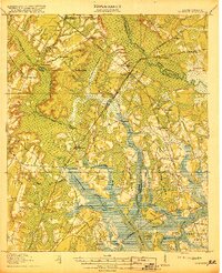
1918 · Yemassee
USGS Topo · 1:62,500
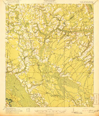
1919 · Pineland
USGS Topo · 1:62,500
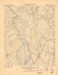
1920 · Hardeeville
USGS Topo · 1:62,500
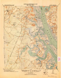
1920 · Okatie
USGS Topo · 1:62,500
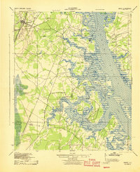
1942 · Okatie
USGS Topo · 1:62,500
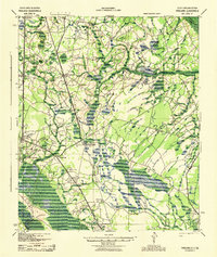
1943 · Pineland
USGS Topo · 1:62,500
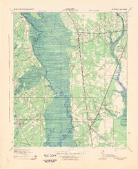
1943 · Hardeeville
USGS Topo · 1:62,500
1943 · Yemassee
USGS Topo · 1:62,500
1947 · Savannah
USGS Topo · 1:250,000
1948 · Savannah
USGS Topo · 1:250,000