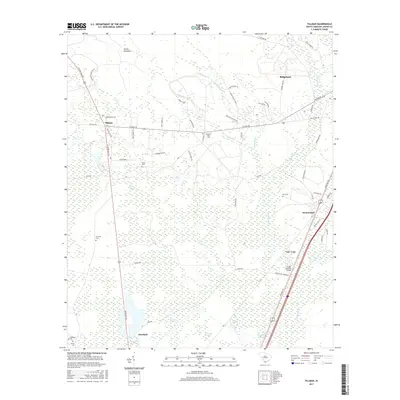
2017 Map of Tillman
USGS Topo · Published 2017About this map
Tillman sits at the intersection of a vast network of Lowcountry wetlands, where the Great Swamp and Sevenmile Swamp dominate the landscape. The region is defined by these interconnected water systems, including Darn Swamp, Green Swamp, and the uniquely named Hog Crawl Swamp to the south. Small settlements like Switzerland and Deerfield are positioned along the primary transit corridors, while the northern reaches transitions into the Hectic Savannas. Family and local heritage is preserved in numerous small burial sites throughout the area, such as Rhoden Ward Cem, Mew Cem, and Arm Oak Cem. The survey illustrates a terrain where human habitation follows the higher ground between expansive wetland bays and branches, like Sand Branch and Wagon Br, reflecting a long-standing adaptation to the local environment.
Find a feature on this map
59 named features on this map. Tap any name to fly to it.
Don’t see what you’re looking for? This feature index may not catch every label — zoom into the map to look around manually.
Map Details
Editions of this 2017 Tillman Map
This is the sole edition of this map. No revisions or reprints were ever made.
Other maps of this area

1918 · Yemassee
USGS Topo · 1:62,500

1919 · Pineland
USGS Topo · 1:62,500

1920 · Hardeeville
USGS Topo · 1:62,500

1920 · Okatie
USGS Topo · 1:62,500

1942 · Okatie
USGS Topo · 1:62,500

1943 · Pineland
USGS Topo · 1:62,500

1943 · Hardeeville
USGS Topo · 1:62,500

1943 · Yemassee
USGS Topo · 1:62,500

1947 · Savannah
USGS Topo · 1:250,000

1948 · Savannah
USGS Topo · 1:250,000