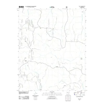
2011 Map of Tilly
USGS Topo · Published 2011About this map
Tilly and the Tilly Post Office anchor the high ground in this 2011 record of the Ozark plateau’s rugged headwater country. This landscape is defined by the radial drainage of several major watercourses, including the Middle Fork Illinois Bayou flowing southwest and the Archey Creek system winding through the central valleys. The map shows a region of dispersed rural settlements where life historically followed the ridges and creek beds, connected by a network of forest roads such as Walker Mtn Rd and McDonald Rd.
Find a feature on this map
79 named features on this map. Tap any name to fly to it.
Don’t see what you’re looking for? This feature index may not catch every label — zoom into the map to look around manually.
Map Details
Editions of this 2011 Tilly Map
This is the sole edition of this map. No revisions or reprints were ever made.
Other maps of this area

1879 · Washington
USGS Topo · 1:62,500

1887 · Smyrna
USGS Topo · 1:62,500

1889 · Marshall #3
USGS Topo · 1:62,500

1892 · Marshall
USGS Topo · 1:125,000

1894 · Marshall
USGS Topo · 1:125,000

1901 · Marshall
USGS Topo · 1:125,000

1939 · Snowball
USGS Topo · 1:62,500

1940 · Smyrna
USGS Topo · 1:62,500

1941 · Snowball
USGS Topo · 1:62,500

1942 · Snowball
USGS Topo · 1:62,500