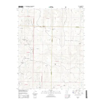
2014 Map of Tilly
USGS Topo · Published 2014About this map
Tilly sits at the intersection of Searcy, Pope, and Van Buren counties, serving as a high-elevation point of reference within the Ozark National Forest. The landscape is defined by its complex drainage network, where the headwaters of the Middle Fork Illinois Bayou and Archey Cr carve through a series of named peaks and hollows. This topography forced a settlement pattern of small, isolated communities like Dabney and family-named landmarks such as Walker Mtn and Shields Knob.
Find a feature on this map
53 named features on this map. Tap any name to fly to it.
Don’t see what you’re looking for? This feature index may not catch every label — zoom into the map to look around manually.
Map Details
Editions of this 2014 Tilly Map
This is the sole edition of this map. No revisions or reprints were ever made.
Other maps of this area

1879 · Washington
USGS Topo · 1:62,500

1887 · Smyrna
USGS Topo · 1:62,500

1889 · Marshall #3
USGS Topo · 1:62,500

1892 · Marshall
USGS Topo · 1:125,000

1894 · Marshall
USGS Topo · 1:125,000

1901 · Marshall
USGS Topo · 1:125,000

1939 · Snowball
USGS Topo · 1:62,500

1940 · Smyrna
USGS Topo · 1:62,500

1941 · Snowball
USGS Topo · 1:62,500

1942 · Snowball
USGS Topo · 1:62,500