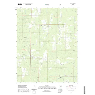
2020 Map of Tilly
USGS Topo · Published 2020About this map
Tilly and Dabney sit at the intersection of Searcy, Pope, and Van Buren counties, marking a high-elevation landscape defined by the rugged watersheds of the Ozark National Forest. The terrain is characterized by a series of prominent peaks and deep hollows, including Shields Knob, Walker Mtn, and Brown Mtn. Waterways like the Middle Fork Illinois Bayou and the Middle Fork Little Red River carve through the limestone landscape, dictating the placement of early settlements and family cemeteries. Local history is anchored by the Zion Hill Cem and Parks Cem, which provide essential points of reference for genealogists tracing ancestral roots in this corner of the Arkansas Ozarks. The road network, including Juddville Rd and Hog Farm Rd, follows the natural contours of the hills, illustrating how geography has continuously shaped transit in this region.
Find a feature on this map
58 named features on this map. Tap any name to fly to it.
Don’t see what you’re looking for? This feature index may not catch every label — zoom into the map to look around manually.
Map Details
Editions of this 2020 Tilly Map
This is the sole edition of this map. No revisions or reprints were ever made.
Other maps of this area

1879 · Washington
USGS Topo · 1:62,500

1887 · Smyrna
USGS Topo · 1:62,500

1889 · Marshall #3
USGS Topo · 1:62,500

1892 · Marshall
USGS Topo · 1:125,000

1894 · Marshall
USGS Topo · 1:125,000

1901 · Marshall
USGS Topo · 1:125,000

1939 · Snowball
USGS Topo · 1:62,500

1940 · Smyrna
USGS Topo · 1:62,500

1941 · Snowball
USGS Topo · 1:62,500

1942 · Snowball
USGS Topo · 1:62,500