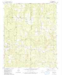
1980 Map of Tilly
USGS Topo · Published 1981About this map
Tilly sits at the intersection of three counties — Searcy, Pope, and Van Buren — in a landscape defined by the deep incisions of the Ozark National Forest. The terrain is characterized by a series of high ridges and narrow hollows, such as Lick Hollow and Brogden Hollow, which channel water into major drainage systems like the Middle Fork Illinois Bayou and Archey Creek. This 1980 survey captures a rural Ozark settlement pattern where small community hubs like Una and Dabney are anchored by local institutions including Union Hill Ch and Archey Valley Ch. The placement of Parks Cem and various unnamed family graves reflect the genealogical footprint of the region's early residents. Landmarks such as the Radio Tower on Walker Mountain and a Quarry near Archey Creek indicate the modest industrial and infrastructure developments present in the hills during the late twentieth century.
Find a feature on this map
34 named features on this map. Tap any name to fly to it.
Don’t see what you’re looking for? This feature index may not catch every label — zoom into the map to look around manually.
Map Details
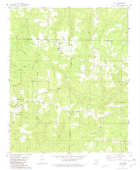
Editions of this 1980 Tilly Map
2 editions found
Other maps of this area

1879 · Washington
USGS Topo · 1:62,500

1887 · Smyrna
USGS Topo · 1:62,500

1889 · Marshall #3
USGS Topo · 1:62,500

1892 · Marshall
USGS Topo · 1:125,000

1894 · Marshall
USGS Topo · 1:125,000

1901 · Marshall
USGS Topo · 1:125,000

1939 · Snowball
USGS Topo · 1:62,500

1940 · Smyrna
USGS Topo · 1:62,500

1941 · Snowball
USGS Topo · 1:62,500

1942 · Snowball
USGS Topo · 1:62,500