Loading...
Loading map...2023 Map of Tiltonsville
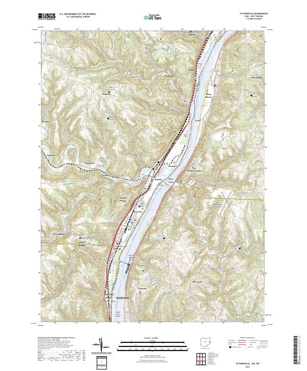
USGS Topo · Published 2023About this map
The Ohio River carves a deep valley through this industrial and residential corridor where Ohio and West Virginia meet. Along the western banks, a dense string of riverside settlements including Tiltonsville, Yorkville, and Rayland line the narrow flats below Chestnut Ridge. This geography dictated the path of critical transportation infrastructure, now visible as both active corridors and recreational paths like the Ohio River Rail-Trl and the Brooke Pioneer Rail-Trl.
Find a feature on this map
166 named features on this map. Tap any name to fly to it.
Don’t see what you’re looking for? This feature index may not catch every label — zoom into the map to look around manually.
Map Details
Date Portrayed2023
Date Published2023
PublisherU.S. Geological Survey
Map TypeTopographic
Scale1:24000
Physical Dimensions24 x 29 inches
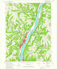
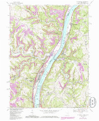
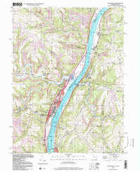
Editions of this 2023 Tiltonsville Map
This is the sole edition of this map. No revisions or reprints were ever made.
Historical Maps of Jackson Heights Through Time
4 maps found
Featured Locations
Source Details
SourceU.S. Geological Survey
CopyrightPublic Domain