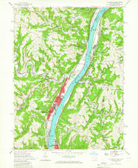
1957 Map of Tiltonsville
USGS Topo · Published 1966About this map
The Ohio River corridor serves as the industrial and transportation backbone for this region, where the state lines of Ohio and West Virginia meet. Heavy rail infrastructure, including the Pennsylvania RR and New York Central RR, parallels the water, supporting river towns such as Tiltonsville and Yorkville. These riverfront settlements are characterized by dense residential blocks that contrast with the steep, dissected plateaus rising to the east and west.
Find a feature on this map
67 named features on this map. Tap any name to fly to it.
Don’t see what you’re looking for? This feature index may not catch every label — zoom into the map to look around manually.
Map Details
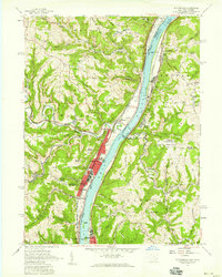
Editions of this 1957 Tiltonsville Map
2 editions found
Other maps of this area

1901 · Cadiz
USGS Topo · 1:62,500

1902 · Wheeling
USGS Topo · 1:62,500

1903 · Cadiz
USGS Topo · 1:62,500

1904 · Steubenville
USGS Topo · 1:62,500

1905 · St. Clairsville
USGS Topo · 1:62,500

1935 · Wheeling
USGS Topo · 1:62,500

1935 · Steubenville
USGS Topo · 1:62,500

1942 · Wheeling
USGS Topo · 1:62,500

1942 · Steubenville
USGS Topo · 1:62,500

1951 · Canton
USGS Topo · 1:250,000