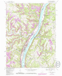
1968 Map of Tiltonsville
USGS Topo · Published 1986About this map
The Ohio River corridor serves as the industrial and transportation backbone for these riverfront communities during the late 1960s. Major settlements including Tiltonsville, Yorkville, and Rayland line the western bank, supported by the Norfolk and Western railroad. Across the water in West Virginia, the Conrail line skirts the edge of Beech Bottom and Windsor Heights. This era of the valley is defined by heavy infrastructure, from the Pike Island Lock and Dam to the sprawling Wheeling-Ohio County Airport situated atop the eastern plateau.
Find a feature on this map
68 named features on this map. Tap any name to fly to it.
Don’t see what you’re looking for? This feature index may not catch every label — zoom into the map to look around manually.
Map Details
Editions of this 1968 Tiltonsville Map
Other maps of this area

1901 · Cadiz
USGS Topo · 1:62,500

1902 · Wheeling
USGS Topo · 1:62,500

1903 · Cadiz
USGS Topo · 1:62,500

1904 · Steubenville
USGS Topo · 1:62,500

1905 · St. Clairsville
USGS Topo · 1:62,500

1935 · Wheeling
USGS Topo · 1:62,500

1935 · Steubenville
USGS Topo · 1:62,500

1942 · Wheeling
USGS Topo · 1:62,500

1942 · Steubenville
USGS Topo · 1:62,500

1951 · Canton
USGS Topo · 1:250,000