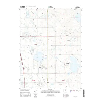
2016 Map of Timnath
USGS Topo · Published 2016About this map
The town of Timnath sits at the heart of an intricate water-management network along the Larimer Co Weld Co line. This landscape is defined by the massive Timnath Reservoir and an expansive system of irrigation infrastructure, including the Larimer and Weld Canal, Boxelder Ditch, and Eaton Ditch, which support the agricultural tracts between Fort Collins and Windsor. The map details the transition from rural acreage to residential expansion, particularly around Severance and near the WKR Airport. For those tracing local history, the Timnath Cem provides a genealogical anchor, while the numerous reservoirs like Smith Reservoir, James Lake, and Mahood Reservoir highlight the region's reliance on water storage. Smaller locales such as Kerns and distinctive terrain like Cactus Hill punctuate the grid of county roads that connect these developing communities in northern Colorado.
Find a feature on this map
124 named features on this map. Tap any name to fly to it.
Don’t see what you’re looking for? This feature index may not catch every label — zoom into the map to look around manually.
Map Details
Editions of this 2016 Timnath Map
This is the sole edition of this map. No revisions or reprints were ever made.
Other maps of this area

1902 · Greeley
USGS Topo · 1:125,000

1906 · Loveland
USGS Topo · 1:62,500

1906 · Fort Collins
USGS Topo · 1:62,500

1907 · Livermore
USGS Topo · 1:125,000

1908 · Loveland
USGS Topo · 1:62,500

1908 · Fort Collins
USGS Topo · 1:62,500

1908 · Eaton
USGS Topo · 1:125,000

1909 · Livermore
USGS Topo · 1:125,000

1910 · Eaton
USGS Topo · 1:125,000

1950 · Windsor
USGS Topo · 1:24,000