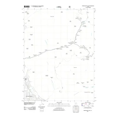
2011 Map of Timpanogos Cave
USGS Topo · Published 2011About this map
Pleasant Grove and Cedar Hills anchor the southwestern corner of this mountain study, marking the edge where urban development meets the steep ascent of the Wasatch Range. The drainage of the American Fork carves a deep path through the center of the sheet, providing a corridor for the American Fork Canyon Rd and a high concentration of recreational sites like Hanging Rock Campground and Little Mill Campground. High-altitude features dominate the eastern landscape, centered on the massive Mount Timpanogos and the surrounding Timpanogos Basin. Geologic and water management history is visible in the network of irrigation and utility features, including the Murdock Canal, North Union Canal, and the Tibble Fork Dam. Rare high-mountain features like Emerald Lake and Pika Cirque illustrate the glacial topography of the upper peaks, while the Tibble Fork Summer Home Area reflects early 20th-century seasonal settlement patterns in the canyon.
Find a feature on this map
69 named features on this map. Tap any name to fly to it.
Don’t see what you’re looking for? This feature index may not catch every label — zoom into the map to look around manually.
Map Details
Editions of this 2011 Timpanogos Cave Map
This is the sole edition of this map. No revisions or reprints were ever made.
Other maps of this area

1885 · Salt Lake
USGS Topo · 1:250,000

1925 · Ft. Douglas
USGS Topo · 1:125,000

1928 · Ft. Douglas
USGS Topo · 1:125,000

1948 · Timpanogos Cave
USGS Topo · 1:24,000

1948 · Orem
USGS Topo · 1:24,000

1948 · Orem
USGS Topo · 1:62,500

1948 · Aspen Grove
USGS Topo · 1:24,000

1948 · Bridal Veil Falls
USGS Topo · 1:24,000

1950 · Orem
USGS Topo · 1:24,000

1950 · Aspen Grove
USGS Topo · 1:24,000