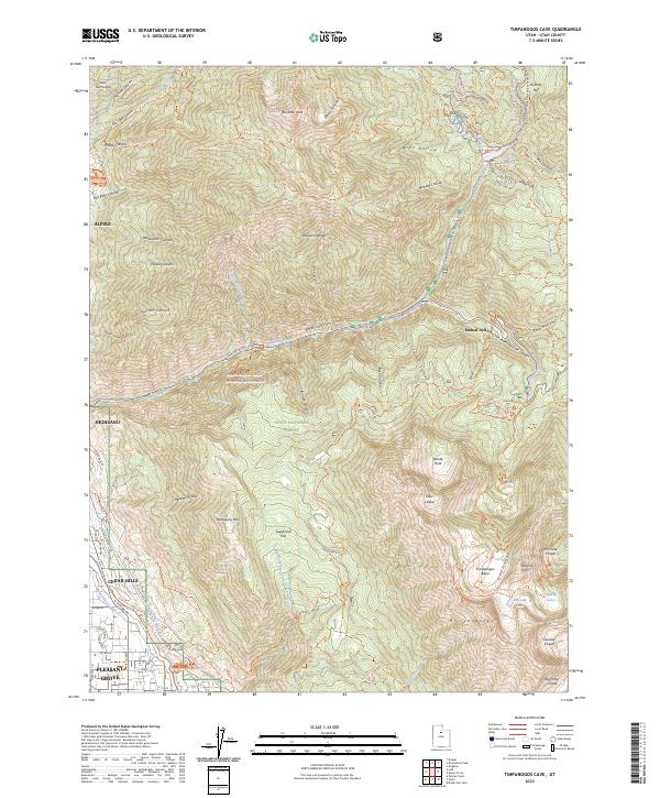
2023 Map of Timpanogos Cave
USGS Topo · Published 2023About this map
Alpine and Highland occupy the lower western reaches of this survey, where the valley meets the sharp rise of the Wasatch Range. This modern topographic study illustrates the transition from suburban development to the protected landscapes of the Lone Peak Wilderness and Mount Timpanogos Wilderness. The rugged geography is defined by significant water management and recreational infrastructure, including the Salt Lake City Aqueduct and the Murdock Canal running along the mountain base.
Find a feature on this map
98 named features on this map. Tap any name to fly to it.
Don’t see what you’re looking for? This feature index may not catch every label — zoom into the map to look around manually.
Map Details
Editions of this 2023 Timpanogos Cave Map
This is the sole edition of this map. No revisions or reprints were ever made.
Other maps of this area

1885 · Salt Lake
USGS Topo · 1:250,000

1925 · Ft. Douglas
USGS Topo · 1:125,000

1928 · Ft. Douglas
USGS Topo · 1:125,000

1948 · Timpanogos Cave
USGS Topo · 1:24,000

1948 · Orem
USGS Topo · 1:24,000

1948 · Orem
USGS Topo · 1:62,500

1948 · Aspen Grove
USGS Topo · 1:24,000

1948 · Bridal Veil Falls
USGS Topo · 1:24,000

1950 · Orem
USGS Topo · 1:24,000

1950 · Aspen Grove
USGS Topo · 1:24,000