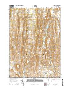
2014 Map of Tin Can Ridge
USGS Topo · Published 2014About this map
Tin Can Ridge rises as a central topographic spine in this high-desert portion of Harney County, defining a landscape of complex drainage basins and seasonal water sources. The map reveals an area where water management is critical for ranching, evidenced by the Hunter Ranch Reservoir and the Alder Cr Reservoir. These man-made features, alongside natural springs like Tin Can Spring and Cold Spring, suggest a history of seasonal grazing and livestock management in an otherwise arid environment.
Find a feature on this map
19 named features on this map. Tap any name to fly to it.
Don’t see what you’re looking for? This feature index may not catch every label — zoom into the map to look around manually.
Map Details
Editions of this 2014 Tin Can Ridge Map
This is the sole edition of this map. No revisions or reprints were ever made.
Other maps of this area

1955 · Burns
USGS Topo · 1:250,000

1958 · Burns
USGS Topo · 1:250,000

1959 · Burns
USGS Topo · 1:250,000
1960 · Crane
USGS Topo · 1:62,500
1968 · Venator
USGS Topo · 1:62,500
1972 · Circle Bar
USGS Topo · 1:24,000
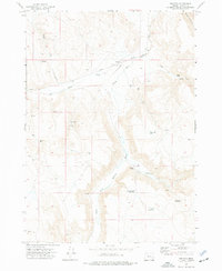
1972 · Venator
USGS Topo · 1:24,000
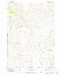
1972 · Dunnean
USGS Topo · 1:24,000
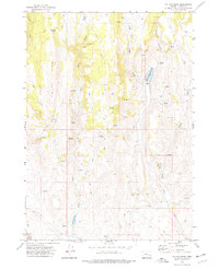
1972 · Tin Can Ridge
USGS Topo · 1:24,000
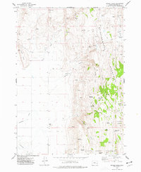
1973 · Mahon Creek
USGS Topo · 1:24,000