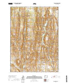
2020 Map of Tin Can Ridge
USGS Topo · Published 2020About this map
Tin Can Ridge and the surrounding high-desert terrain of Harney County are defined by a complex network of seasonal drainages and essential water sources. The landscape is carved by Gorman Cr, Little Crane Cr, and Coyote Cr, which descend toward the southern valley floor. Natural relief is found at Alder Creek Meadow and within the shelter of Fir Gulch and Cow Canyon.
Find a feature on this map
18 named features on this map. Tap any name to fly to it.
Don’t see what you’re looking for? This feature index may not catch every label — zoom into the map to look around manually.
Map Details
Editions of this 2020 Tin Can Ridge Map
This is the sole edition of this map. No revisions or reprints were ever made.
Other maps of this area

1955 · Burns
USGS Topo · 1:250,000

1958 · Burns
USGS Topo · 1:250,000

1959 · Burns
USGS Topo · 1:250,000
1960 · Crane
USGS Topo · 1:62,500
1968 · Venator
USGS Topo · 1:62,500
1972 · Circle Bar
USGS Topo · 1:24,000
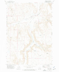
1972 · Venator
USGS Topo · 1:24,000
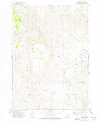
1972 · Dunnean
USGS Topo · 1:24,000
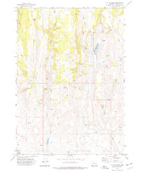
1972 · Tin Can Ridge
USGS Topo · 1:24,000
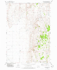
1973 · Mahon Creek
USGS Topo · 1:24,000