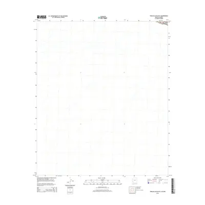
2014 Map of Tinajas Altas OE S
USGS Topo · Published 2014About this map
The Lechuguilla Desert defines this arid environment, situated along the international border between Arizona and the Estados Unidos Mexicanos. This 2014 survey focuses on a remote section of the Sonoran landscape, where the terrain is dominated by complex drainage patterns and desert washes. The map serves as a technical record of the borderlands, showing the precise intersection of international and state boundaries within a largely uninhabited desert expanse. The absence of roads or permanent structures emphasizes the environmental isolation of this border region, providing a baseline for researchers studying the geographic and administrative division of the desert floor during the early 21st century.
Find a feature on this map
3 named features on this map. Tap any name to fly to it.
Don’t see what you’re looking for? This feature index may not catch every label — zoom into the map to look around manually.
Map Details
Editions of this 2014 Tinajas Altas OE S Map
This is the sole edition of this map. No revisions or reprints were ever made.
Other maps of this area
1942 · Yuma
USGS Topo · 1:250,000

1953 · Ajo
USGS Topo · 1:250,000
1954 · El Centro
USGS Topo · 1:250,000
1955 · El Centro
USGS Topo · 1:250,000

1957 · Ajo
USGS Topo · 1:250,000

1958 · Ajo
USGS Topo · 1:250,000
1958 · El Centro
USGS Topo · 1:250,000
1961 · El Centro
USGS Topo · 1:250,000

1962 · Ajo
USGS Topo · 1:250,000

1963 · Ajo
USGS Topo · 1:250,000