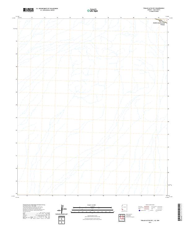
2021 Map of Tinajas Altas OE S
USGS Topo · Published 2021About this map
The international border between the Usa Mx dominates the northern edge of this arid landscape in Yuma County. This remote desert terrain is defined by a complex network of ephemeral washes and drainage patterns that stretch across the quadrangle, illustrating the natural hydrological flow of the southwestern desert. The map, produced from 2019 imagery and recent topographic data, serves as a contemporary record of this unpopulated region along the boundary line. While modern in its data collection, the sheet reveals a landscape that remains largely unchanged by infrastructure, preserving the raw physical geography of the Arizona-Mexico borderlands.
Find a feature on this map
1 named feature on this map. Tap any name to fly to it.
Don’t see what you’re looking for? This feature index may not catch every label — zoom into the map to look around manually.
Map Details
Editions of this 2021 Tinajas Altas OE S Map
This is the sole edition of this map. No revisions or reprints were ever made.
Other maps of this area

1942 · Yuma
USGS Topo · 1:250,000

1953 · Ajo
USGS Topo · 1:250,000

1954 · El Centro
USGS Topo · 1:250,000

1955 · El Centro
USGS Topo · 1:250,000

1957 · Ajo
USGS Topo · 1:250,000

1958 · Ajo
USGS Topo · 1:250,000

1958 · El Centro
USGS Topo · 1:250,000

1961 · El Centro
USGS Topo · 1:250,000

1962 · Ajo
USGS Topo · 1:250,000

1963 · Ajo
USGS Topo · 1:250,000