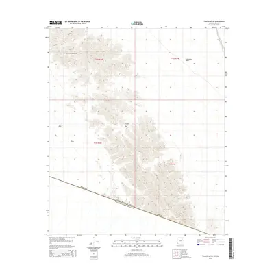
2014 Map of Tinajas Altas
USGS Topo · Published 2014About this map
The Tinajas Altas Mountains dominate the center of this remote desert landscape along the international boundary between the United States of America and Mexico. The terrain is defined by the sharp transition from the elevated peaks to the surrounding lowlands of the Lechuguilla Desert to the east and the Yuma Desert to the west. Rare water sources in this arid environment are critical landmarks, including the namesake Tinajas Altas and Surveyors Tank. The map also highlights the strategic Tinajas Altas Pass, a gap through the range that historically facilitated movement across the Davis Plain. This survey provides a detailed look at the borderlands within Yuma County, where the geography remains largely untouched by development, focusing instead on natural features and elevation.
Find a feature on this map
16 named features on this map. Tap any name to fly to it.
Don’t see what you’re looking for? This feature index may not catch every label — zoom into the map to look around manually.
Map Details
Editions of this 2014 Tinajas Altas Map
This is the sole edition of this map. No revisions or reprints were ever made.
Other maps of this area
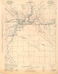
1942 · Yuma
USGS Topo · 1:250,000

1953 · Ajo
USGS Topo · 1:250,000
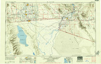
1954 · El Centro
USGS Topo · 1:250,000
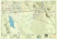
1955 · El Centro
USGS Topo · 1:250,000

1957 · Ajo
USGS Topo · 1:250,000

1958 · Ajo
USGS Topo · 1:250,000
1958 · El Centro
USGS Topo · 1:250,000
1961 · El Centro
USGS Topo · 1:250,000

1962 · Ajo
USGS Topo · 1:250,000

1963 · Ajo
USGS Topo · 1:250,000