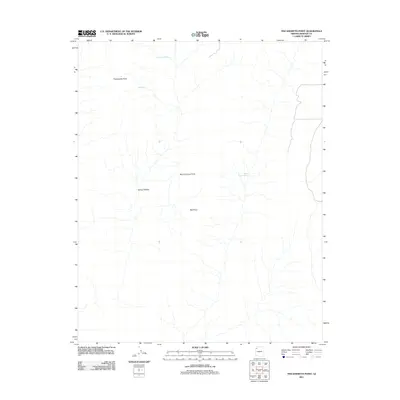
2011 Map of Tincanebitts Point
USGS Topo · Published 2011About this map
Sanup Plateau dominates this high-desert landscape in Mohave County, where the terrain is defined by dramatic promontories and vital water sources. This 2011 survey by the U.S. Geological Survey captures the topographic character of a region where landmarks like Tincanebitts Point and Burnt Canyon Point overlook a complex network of drainage patterns. For researchers or those interested in the geographic history of the Arizona Strip, the map identifies critical, named water points such as Tincanebitts Spring, Joe Spring, and Burnt Canyon Spring. These localized springs have historically dictated the movement of people and livestock across this arid environment. The presence of Red Point further highlights the distinctive geological features that serve as primary navigation markers on the plateau.
Find a feature on this map
7 named features on this map. Tap any name to fly to it.
Don’t see what you’re looking for? This feature index may not catch every label — zoom into the map to look around manually.
Map Details
Editions of this 2011 Tincanebitts Point Map
This is the sole edition of this map. No revisions or reprints were ever made.
Other maps of this area
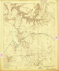
1886 · Diamond Creek
USGS Topo · 1:250,000
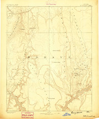
1886 · Mt. Trumbull
USGS Topo · 1:250,000
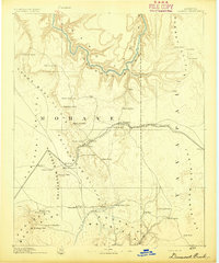
1892 · Diamond Creek
USGS Topo · 1:250,000
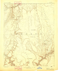
1892 · Mt. Trumbull
USGS Topo · 1:250,000
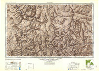
1948 · Williams
USGS Topo · 1:250,000

1953 · Grand Canyon
USGS Topo · 1:250,000
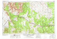
1954 · Williams
USGS Topo · 1:250,000
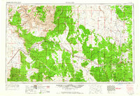
1956 · Williams
USGS Topo · 1:250,000

1957 · Grand Canyon
USGS Topo · 1:250,000

1958 · Grand Canyon
USGS Topo · 1:250,000