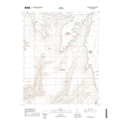
2018 Map of Tincanebitts Point
USGS Topo · Published 2018About this map
Tincanebitts Point stands as a prominent landmark in this high-desert landscape where the borders of Grand Canyon National Park and the Lake Mead National Recreation Area converge. The topography is defined by the massive Sanup Plateau and deep incisions from drainages like Tincanebitts Canyon and Burnt Canyon. These deep corridors provide critical access to water sources in an otherwise arid environment, marked by several named seeps such as Tincanebitts Spring, Joe Spring, and Burnt Canyon Spring. The map documents a complex vertical landscape of rims and basins, including the elevated Twin Point and Red Point, illustrating the transition between the vast recreational reaches of Lake Mead and the protected wilderness of the Grand Canyon.
Find a feature on this map
24 named features on this map. Tap any name to fly to it.
Don’t see what you’re looking for? This feature index may not catch every label — zoom into the map to look around manually.
Map Details
Editions of this 2018 Tincanebitts Point Map
This is the sole edition of this map. No revisions or reprints were ever made.
Other maps of this area
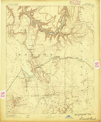
1886 · Diamond Creek
USGS Topo · 1:250,000
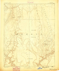
1886 · Mt. Trumbull
USGS Topo · 1:250,000
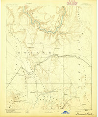
1892 · Diamond Creek
USGS Topo · 1:250,000
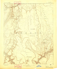
1892 · Mt. Trumbull
USGS Topo · 1:250,000
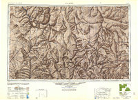
1948 · Williams
USGS Topo · 1:250,000

1953 · Grand Canyon
USGS Topo · 1:250,000
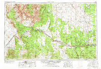
1954 · Williams
USGS Topo · 1:250,000
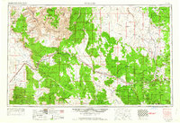
1956 · Williams
USGS Topo · 1:250,000

1957 · Grand Canyon
USGS Topo · 1:250,000

1958 · Grand Canyon
USGS Topo · 1:250,000