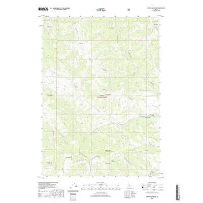
2020 Map of Tincup Mountain
USGS Topo · Published 2020About this map
Caribou National Forest dominates this section of the Idaho-Wyoming border region, defined by its high-altitude peaks and intricate drainage systems. The terrain is anchored by several prominent summits, including Old Baldy Peak, Bald Mountain, and Black Mountain. These heights feed a complex network of creeks, such as Iowa Cr, Squaw Cr, and Tincup Cr, which carve through the landscape to form deep depressions like Skull Canyon and Luthi Canyon.
Find a feature on this map
50 named features on this map. Tap any name to fly to it.
Don’t see what you’re looking for? This feature index may not catch every label — zoom into the map to look around manually.
Map Details
Editions of this 2020 Tincup Mountain Map
This is the sole edition of this map. No revisions or reprints were ever made.
Other maps of this area

1915 · Freedom
USGS Topo · 1:62,500

1915 · Lanes Creek
USGS Topo · 1:62,500

1932 · Irwin
USGS Topo · 1:96,000

1935 · Irwin
USGS Topo · 1:125,000

1955 · Driggs
USGS Topo · 1:250,000

1955 · Preston
USGS Topo · 1:250,000

1958 · Driggs
USGS Topo · 1:250,000

1958 · Preston
USGS Topo · 1:250,000

1962 · Driggs
USGS Topo · 1:250,000

1962 · Preston
USGS Topo · 1:250,000