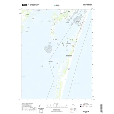
2019 Map of Tingles Island
USGS Topo · Published 2019About this map
Assateague Island National Seashore dominates the eastern landscape of this coastal survey, where the Atlantic barrier beach meets the complex marshlands of Sinepuxent Bay and Chincoteague Bay. This environment is defined by shifting sands and intricate waterways like Tingles Narrows and Buntings Gut, which separate numerous marsh hummocks including Tingles Island, Crow Tump, and Outward Tump. On the mainland to the west, residential development is visible at Golf Club Shores and South Point, contrasting with the protected wilderness of the barrier islands. The transport network reflects the region's geography, with the Verrazano Brg and Stephen Decatur Memorial Rd providing essential access to the shore. For researchers, this 2019 edition provides a precise view of modern coastal topography, detailing family-named landforms such as Cropper Island and Newport Neck before continued sea-level changes alter these low-lying marsh profiles.
Find a feature on this map
56 named features on this map. Tap any name to fly to it.
Don’t see what you’re looking for? This feature index may not catch every label — zoom into the map to look around manually.
Map Details
Editions of this 2019 Tingles Island Map
This is the sole edition of this map. No revisions or reprints were ever made.
Other maps of this area
1901 · Snow Hill
USGS Topo · 1:62,500
1901 · Green Run
USGS Topo · 1:62,500
1901 · Ocean City
USGS Topo · 1:62,500
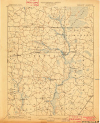
1902 · Pittsville
USGS Topo · 1:62,500
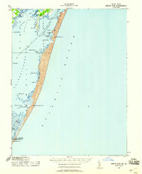
1938 · Green Run
USGS Topo · 1:62,500
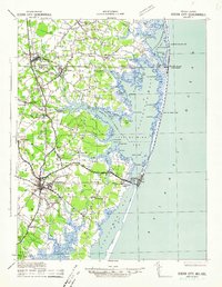
1942 · Ocean City
USGS Topo · 1:62,500
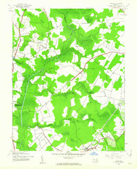
1942 · Ninepin
USGS Topo · 1:24,000
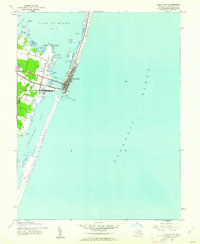
1942 · Ocean City
USGS Topo · 1:24,000
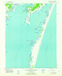
1942 · Tingles Island
USGS Topo · 1:24,000
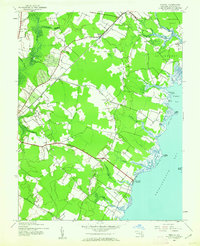
1942 · Wesley
USGS Topo · 1:24,000