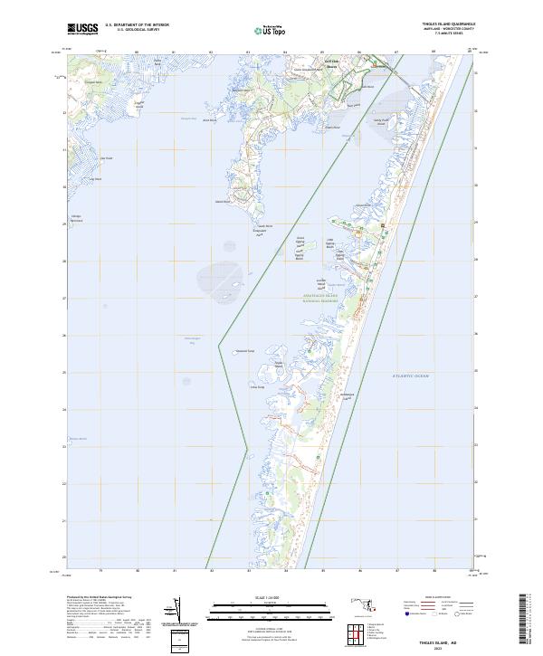
2023 Map of Tingles Island
USGS Topo · Published 2023About this map
Assateague Island National Seashore dominates the eastern half of this coastal landscape, protecting a fragile stretch of beach and marshland including Great Egging Beach and Little Egging Beach. This maritime environment is defined by the intricate waterways separating the barrier island from the mainland necks, with Sinepuxent Bay and Chincoteague Bay serving as the primary basins. The landforms here are a complex network of marshes and small landmasses like Tingles Island, Crow Tump, and Lumber Marsh Island.
Find a feature on this map
63 named features on this map. Tap any name to fly to it.
Don’t see what you’re looking for? This feature index may not catch every label — zoom into the map to look around manually.
Map Details
Editions of this 2023 Tingles Island Map
This is the sole edition of this map. No revisions or reprints were ever made.
Other maps of this area

1901 · Snow Hill
USGS Topo · 1:62,500

1901 · Green Run
USGS Topo · 1:62,500

1901 · Ocean City
USGS Topo · 1:62,500

1902 · Pittsville
USGS Topo · 1:62,500

1938 · Green Run
USGS Topo · 1:62,500

1942 · Ocean City
USGS Topo · 1:62,500

1942 · Ninepin
USGS Topo · 1:24,000

1942 · Ocean City
USGS Topo · 1:24,000

1942 · Tingles Island
USGS Topo · 1:24,000

1942 · Wesley
USGS Topo · 1:24,000