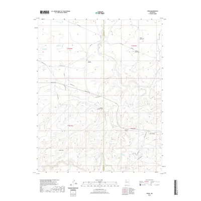
2020 Map of Tinian
USGS Topo · Published 2020About this map
Tinian serves as a focal point in this high-desert landscape, where the border between McKinley and Sandoval counties divides a terrain defined by expansive mesas and deep-cut drainage systems. The geography is dominated by the massive Chaco Mesa and Mesa de San Felipe, which rise above a network of seasonal waterways including Papers Wash, Torreon Wash, and the Vicente Arroyo. Resource management in this arid region is visible through the distribution of named stock tanks and water features such as Uranium Claim Tank, Store Tank, and Homestead Corner Tank.
Find a feature on this map
36 named features on this map. Tap any name to fly to it.
Don’t see what you’re looking for? This feature index may not catch every label — zoom into the map to look around manually.
Map Details
Editions of this 2020 Tinian Map
This is the sole edition of this map. No revisions or reprints were ever made.
Other maps of this area

1883 · Mt. Taylor
USGS Topo · 1:250,000

1886 · Mt. Taylor
USGS Topo · 1:250,000

1892 · Mt. Taylor
USGS Topo · 1:250,000

1899 · Mt. Taylor
USGS Topo · 1:250,000

1958 · Albuquerque
USGS Topo · 1:250,000
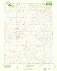
1961 · Ojo Encino Mesa
USGS Topo · 1:24,000
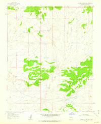
1961 · Johnson Trading Post
USGS Topo · 1:24,000
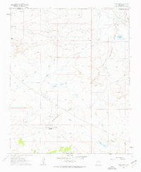
1961 · Star Lake
USGS Topo · 1:24,000

1961 · Mesita Del Gavilan
USGS Topo · 1:24,000

1961 · Arroyo Empedrado
USGS Topo · 1:24,000
Featured Places
- Eastern Navajo Agency, NM
- Tinian, Eastern Navajo Agency
- Sandoval County, NM
- McKinley County, NM
- United States