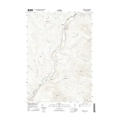
2015 Map of Tinkerville
USGS Topo · Published 2015About this map
The Connecticut River serves as the prominent boundary between the Essex Co and Coos Co line, separating Vermont and New Hampshire in this northern river valley. Along its banks, the settlement of Columbia is connected to the Vermont side by the Columbia Bridge, a focal point for local transport. Small residential clusters and family-named landmarks like Simms Hill and Georges dot the valley floor and foothills, reflecting a legacy of rural land ownership.
Find a feature on this map
68 named features on this map. Tap any name to fly to it.
Don’t see what you’re looking for? This feature index may not catch every label — zoom into the map to look around manually.
Map Details
Editions of this 2015 Tinkerville Map
This is the sole edition of this map. No revisions or reprints were ever made.
Other maps of this area

1920 · Guildhall
USGS Topo · 1:62,500

1929 · Averill
USGS Topo · 1:62,500

1930 · Percy
USGS Topo · 1:62,500

1930 · Dixville
USGS Topo · 1:62,500

1931 · Guildhall
USGS Topo · 1:48,000

1933 · Guildhall
USGS Topo · 1:48,000

1933 · Dixville
USGS Topo · 1:62,500

1934 · Percy
USGS Topo · 1:62,500

1934 · Dixville
USGS Topo · 1:62,500

1937 · Guildhall
USGS Topo · 1:62,500